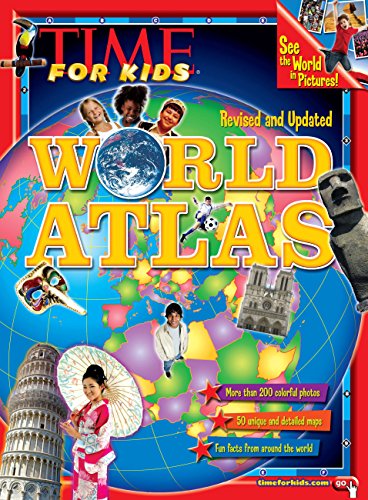
World atlas / Nellie Gonzales Cutler.
Series: Year in reviewPublication details: New York : Time, Inc, c2011.Description: 144 p : ill., maps ; 28 cmISBN:- 9781603208840
- 1603208844
- At head of title: Time for kids
- 912 22
| Item type | Current library | Call number | Status | Date due | Barcode | |
|---|---|---|---|---|---|---|
| J900-999 | Flesherton Branch Shelves | J 912 Wor (Browse shelf(Opens below)) | Available | 32241001045493 |
"See the world in pictures!"--Cover.
"Revised and updated"--Cover.
"More than 200 colorful photos"--Cover.
"50 unique and detailed maps"--Cover.
"Fun facts from around the world"--Cover.
"time for kids.com"--Cover.
"More than 200 beautiful, full-color photographs! See sites, symbols, people, and places from around the globe-all in one place"--P. 4 of cover.
50 easy-to-read, colorful maps created exclusively for TIME For Kids! See each country up close-and locate it on a globe."--P. 4 of cover.
Special section on North America highlighting the regions and states of the United States as well as its neighbors Canada, Mexico, and the Caribbean"--P. 4 of cover.
Cool, up-to-date trivia and information on all the countries of the world. Check out flags, populations, languages, landmarks, governments, and more."--P. 4 of cover.
More than 1,000 fun facts and fascinating tidbits about food, culture, wildlife, history, and national treasures from around the globe"--P. 4 of cover.
"Bonus! 2 cool web links!, timeforkids.com/kids, timeforkids,com/TFK/kids/hh/goplaces.
Includes index.
The arctic -- North America:Eastern Canada ; Western Canada and Alaska ; United States of America ; United States of America, New England ; United Sates of America, Middle Atlantic ; United States of America, Midwest ; United States of America, South ; United States of America, Southwest ; United States of America, West ; Mexico and Central America ; Caribbean --
South America: Northwestern South America ; Northeastern South America ; Southern South America --
Europe: United Kingdom and Ireland ; Scandinavia ; The Iberian Peninsula ; France and Monaco ; The Low Countries ; Germany ; Austria, Liechtenstein, and Switzerland ; Central Europe ; Italy, Malta, San Marion, and Vatican City ; The Balkans ; Southeastern Europe ; The Baltic States and Belarus ; Urkaine, Moldova, and the Caucasus Republics ; Western Russia --
Asia: Eastern Russia ; Turkey and Cyprus ; Israel, Lebanon, Jordan, and Syria ; The Arabian Peninsula ; Central Asia ; Afghanistan, Iran, and Pakistan ; Indian Subcontinent ; China, Mongolia, and Taiwan ; Japan, North Korea, and South Korea ; Southeast Asia ; Maritime Southeast Asia --
Africa: Northeastern Africa ; Northwestern Africa ; Western Africa ; Central Africa ; East Central Africa ; Southern Africa --
Australia and the Pacific Islands: Australia and Papua New Guinea ; New Zealand and the Pacific Islands --
Antarctica
This fully-illustrated atlas takes children on a voyage around the world. The itinerary begins with a 12-page introduction to the Earth's demographics and data. Children can then travel to each of the seven continents and key regions of the world to view world fact files with flags and fact-filled highlights.
4-8 Gumdrop Books.
4-8 Gumdrop Books.
There are no comments on this title.